Native Vegetation Mapping Project
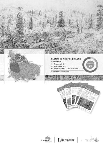
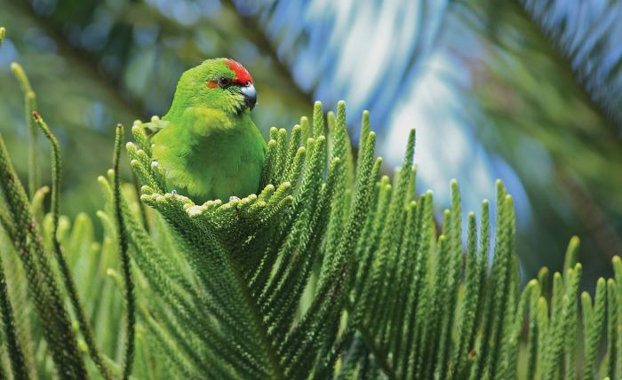
There are 180 native plant species (of which about 25 per cent are endemic) and a further 370 naturalised species on the Norfolk Island Group (Mills 2009). However, prior to 2020, there was no comprehensive, island-wide description or map of the native plant communities present. The Norfolk Island Vegetation Mapping Project commenced in 2018 and sought to produce island-wide vegetation maps of Norfolk Island: one showing current native plant communities and another showing the native plant communities predicted to have been present in 1750.
Acknowledgements and description of the Norfolk Island Vegetation Mapping Project
Funding for this report was provided by the Norfolk Island Regional Council. The information was obtained as part of a project by the Invasive Species Council and TierraMar, funded by the Lord Mayor’s Charitable Foundation through the Eldon and Anne Foote Trust.
Field surveys, analysis and mapping were conducted by Naomi Christian and Dr Kevin Mills and supported by the Norfolk Island Regional Council, Parks Australia and many generous volunteers and landholders. A detailed technical report describing the methodology used to describe the vegetation communities and map their location in 1750 and 2020 is available from the Invasive Species Council on request.